Dr Kathleen Kozyniak
Principal Scientist Air
Hawke’s Bay Regional Council
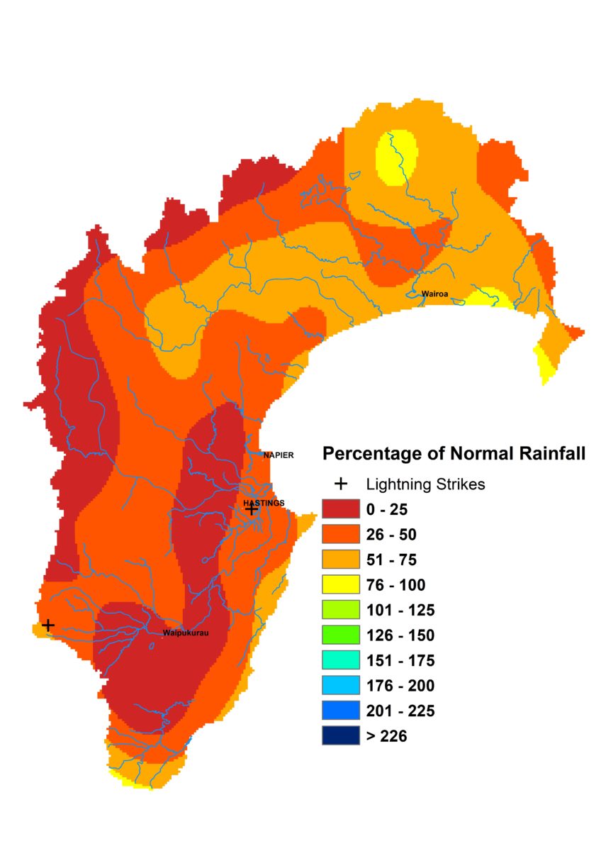
Summer was a bumpy ride. Rainfall was high in December (143% of the long term average), drastically below average in January (34%) and then went nuts in February (232%). Temperatures were warm throughout, thanks to very warm seas along the region’s coast.
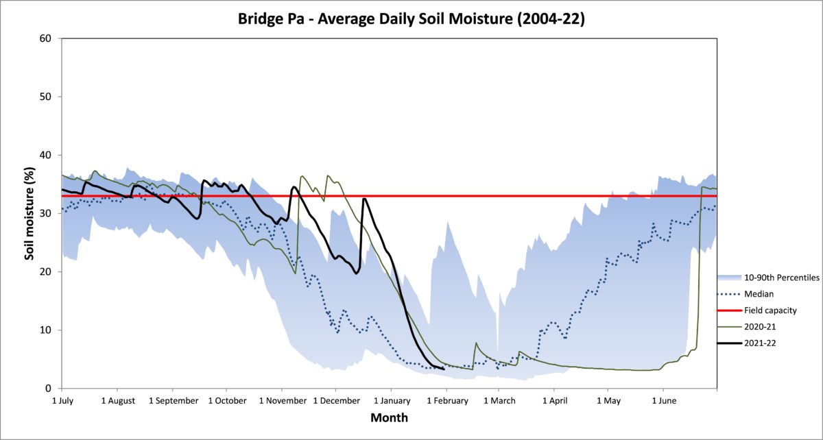
The result was soil moisture levels that ended summer looking fairly saturated, river flows that were well bolstered and groundwater levels that maintained good levels for the time of year. It’s a far cry from where we were this time last year and the year prior.
La Niña has largely met expectations but is predicted to weaken to neutral conditions during autumn. The next three months don’t look terribly different though in terms of the general pattern. Easterlies are still likely to feature regularly due to lower than usual sea level pressure to the north and northwest of New Zealand and higher to the south. Seas remain warm so air temperatures should too. Seasonal models continue to forecast either normal or above normal rainfall for the period, which doesn’t rule out a similar bumpy ride in autumn as we saw in summer. Even as I write, we have a low to the east that could either bring us phenomenal rain or simply whimper.
Percentage of Normal Rainfall


